
Portage Valley trails
No tunnel crossing required.
Six trails · Two sides of the tunnel
Easy wetland walks, glacier valleys, forest paths, waterfalls, and a hike to Portage Glacier views.
Start at the lodge
Four walks begin in Portage Valley. Portage Pass and Horsetail Falls begin after the Whittier tunnel, so those two require extra travel planning. Distances are trail distances, not distances from the lodge.
No tunnel crossing required.
Check the tunnel schedule first.
From a quarter-mile boardwalk to a five-mile valley trail.
Portage Valley
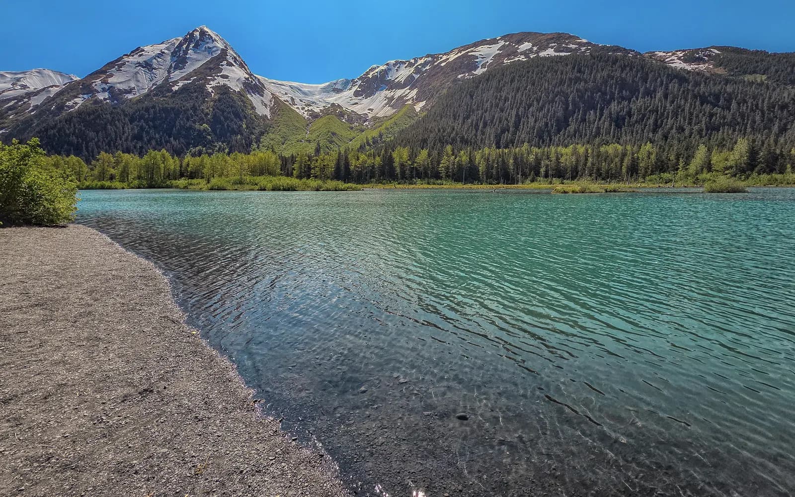
Follow the broad Portage Valley from Moose Flats toward Portage Lake through forest, ponds, streams, and landscapes exposed by the retreat of Portage Glacier.
Start at Moose Flats Recreation Area near Mile 1 of Portage Glacier Road. The route crosses the road twice, so use extra care at both crossings.
Weather changes quickly. Carry rain layers, watch for wildlife, and confirm current trail conditions before a full out-and-back trip.
Portage Valley
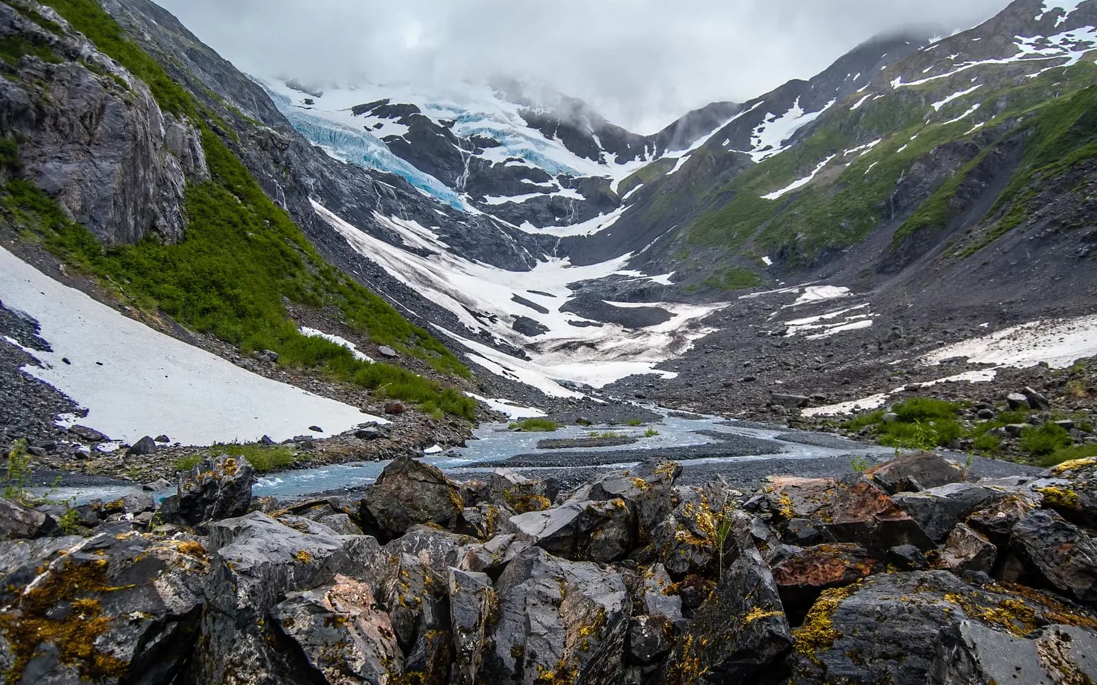
An easy, heavily used gravel trail follows Byron Creek from lush forest into a rugged valley ringed by glacier-cut mountains. The maintained trail ends at a viewing area at the base of the snowfields, 0.9 mile from the trailhead.
Do not enter ice caves or walk beneath snowfields. Cornices and avalanche danger can last into summer.
Past the viewing area a rougher route climbs a talus slope of loose rock for about another half mile. It is not maintained, is often under snow until late summer, and is not part of the easy family walk.
From Portage Glacier Road, turn onto Portage Lake Loop Road and follow Byron Glacier Road to the signed trailhead, about one mile from the visitor center.
Do not enter ice caves or walk beneath avalanche snowfields. The Forest Service warns that huge cornices and avalanche danger can persist into summer. A season range is not a safety report, so check current conditions before you go.
Whittier side
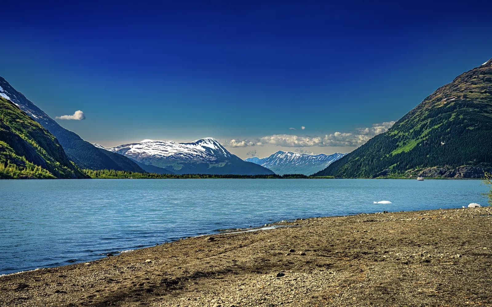
Climb from Whittier to Portage Pass, then descend toward the gravel shore of Portage Lake for a direct view across the water toward Portage Glacier.
The trailhead is on the Whittier side of the Anton Anderson Memorial Tunnel. Plan the tunnel schedule and toll before leaving the lodge.
Bring warm layers and rain gear even on a clear day. Whittier weather can be colder, wetter, and windier than conditions on the Portage side.
Portage Valley
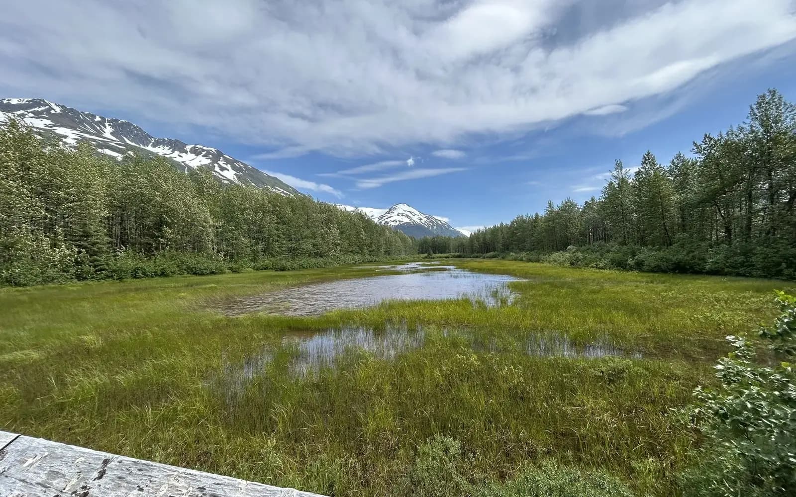
A short wetland walk at the west end of Portage Valley provides an observation point over ponds used by nesting waterfowl, and sometimes by moose.
Enter Moose Flats Day-Use Area near Mile 1 of Portage Glacier Road. The listed trail coordinates are 60.8124, -148.9435.
Wildlife sightings are never guaranteed. Keep a long distance from moose, never approach calves, and keep dogs controlled.
Portage Valley
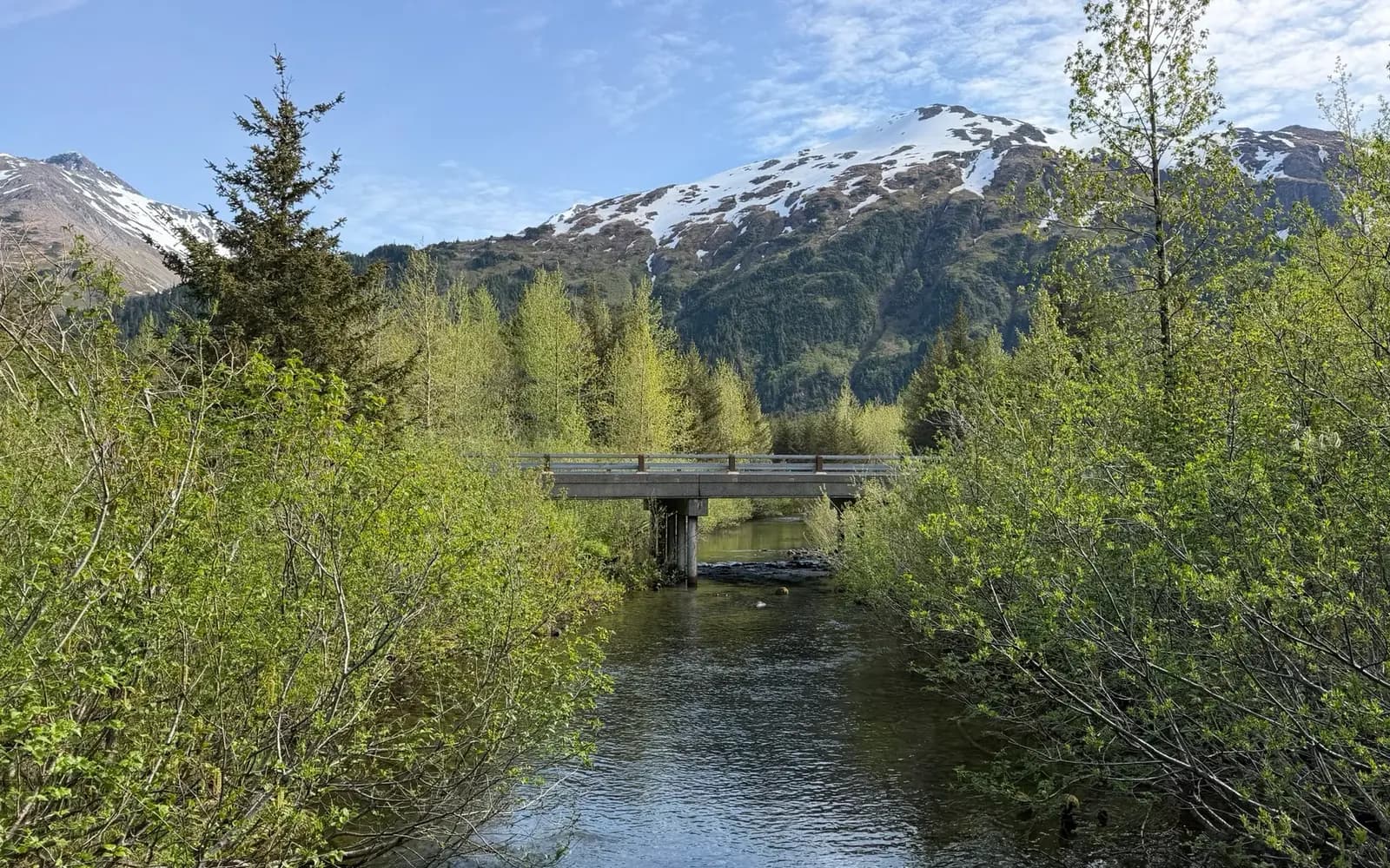
A well-maintained interpretive trail near Williwaw Campground follows forest and water habitat, with numbered posts that correspond to a guide available from the visitor center.
Use the Williwaw Campground and fish-viewing area in Portage Valley. The listed trail coordinates are 60.7867, -148.8775.
Do not disturb spawning salmon or enter closed habitat. Bears may use salmon streams; carry bear spray where legal and know how to use it.
Whittier side
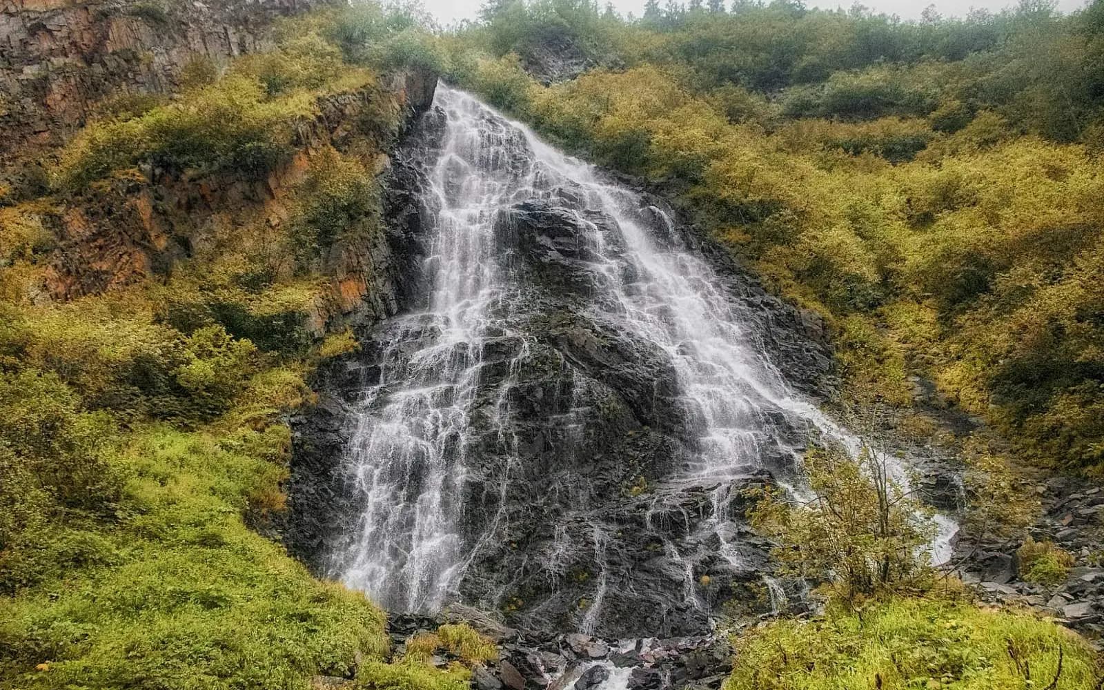
Climb through spruce forest above Whittier for open views of numerous waterfalls, including the long drop of Horsetail Falls across Blackstone Ridge.
Drive through the tunnel into Whittier, follow Whittier Drive and Blackstone Road, then use Reservoir Road for the signed trail approach.
Wet boards, roots, and steps can be slick. Plan around the one-way tunnel schedule and allow enough time to return before the final opening.
Plan safely
Rain, snow, avalanche debris, bears, moose, and tunnel timing can change a simple outing. Check current information on the day you go and turn around when conditions are wrong.
Before or after the trail